Years in the making, Spotaplot is finally ready to unveil its first product and it's going to revolutionise not only the property development landscape, but the actual physical landscape too!
And it started, as all good ideas do, with one person and a desire to find a better way.
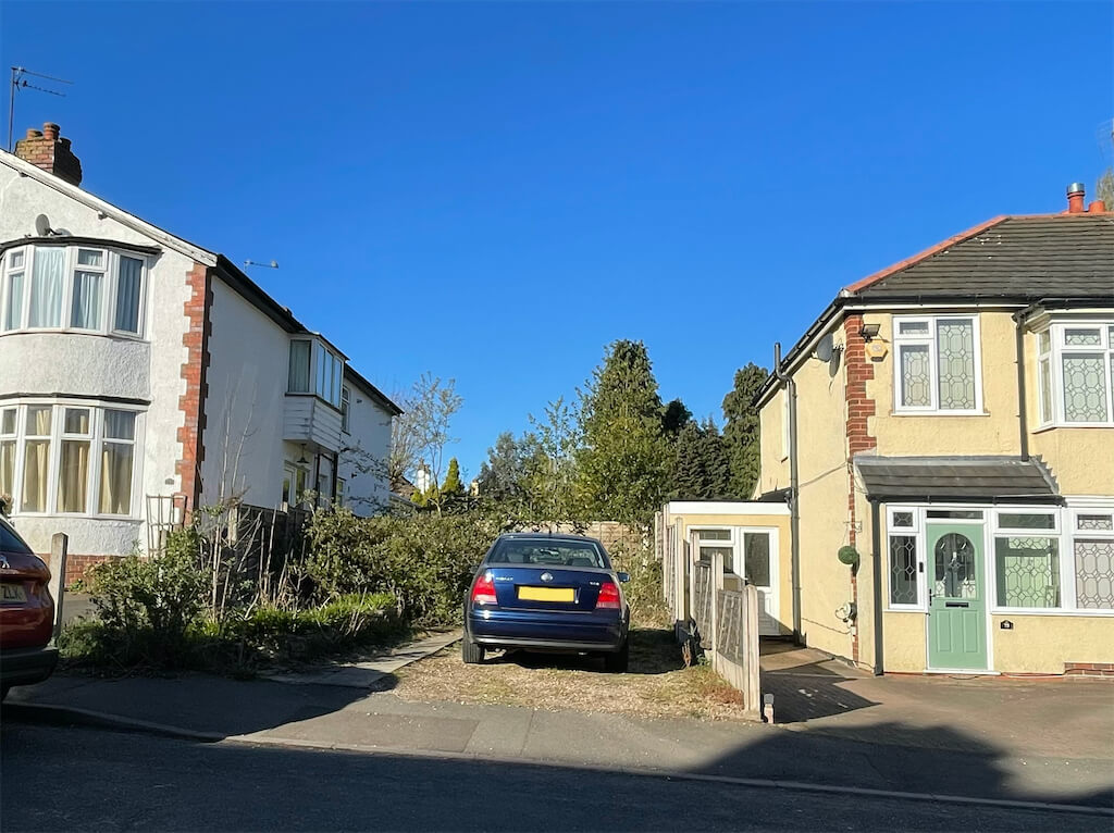
Spotaplot's founder, Peter Bowdler was helping his father to sell a plot of land at the rear of his garden. "We engaged an architect to create a feasibility study which included measuring and indicating what type and size of building could fit onto the proposed plot. It took two months to complete and cost £1,500. I thought it was costly and took too long, so I thought, hey, why can’t I automate this process to deliver instant results? That’s when I hit upon the idea of using technology to help."
An entrepreneur at heart and no stranger to the power of the Internet, having once built one of the UK's largest online marketplaces, Peter knew there was an easier, more intuitive way to find undeveloped spaces. And then one day, "My wife and I were driving around a nice area looking for a plot and I said, "Imagine if I could drop a pin on a map and an app would find every great plot in this area and calculate what it was worth?"
After a couple of failed attempts - it's a complicated problem with no easy solution after all - Peter found a team of software developers who shared his vision and together they built Spotaplot. "We've now scanned over 37 million gardens, the length and breadth of England and Wales, and identified hundreds of thousands of single plots suitable for one dwelling," Peter said.
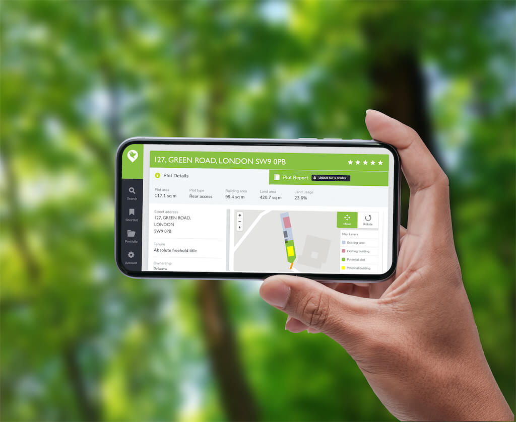
The Plot Report our product generates acts as a whole feasibility study too. It tells you what type of dwelling the plot would suit, what the estimated gross development value of the plot might be, as well as detailed area information that helps with planning applications.
It's an old problem with a new solution and it's getting a lot of attention. Nick Giles, Managing Director of the consumer side of Ordnance Survey thinks that, "the cutting-edge use of technology, land registry and geospatial data has for the first-time enabled opportunities for land development to be automated at scale. This is a truly exciting step, a great example of clear thinking and the clever use of technology to address a deep universal and societal need. Spotaplot are leading the way in this field."
Spotaplot have clearly hit on something exciting and forging ahead with more ground-breaking features such as a new product aimed at professionals allowing them to find plots suitable for large scale developments and create instant feasibility reports.